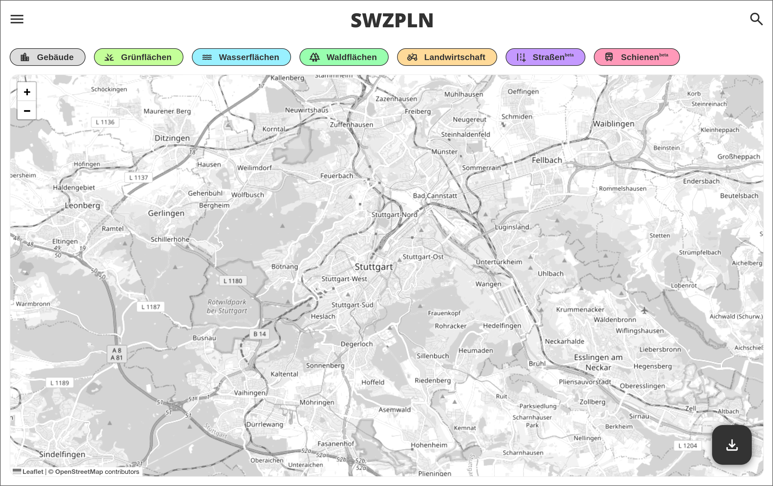
Nolli Plan & 3D City Model Generator
A free web application for creating Nolli plans, urban maps and 3D city models from OpenStreetMap data. BIM Champions 2026 runner-up.
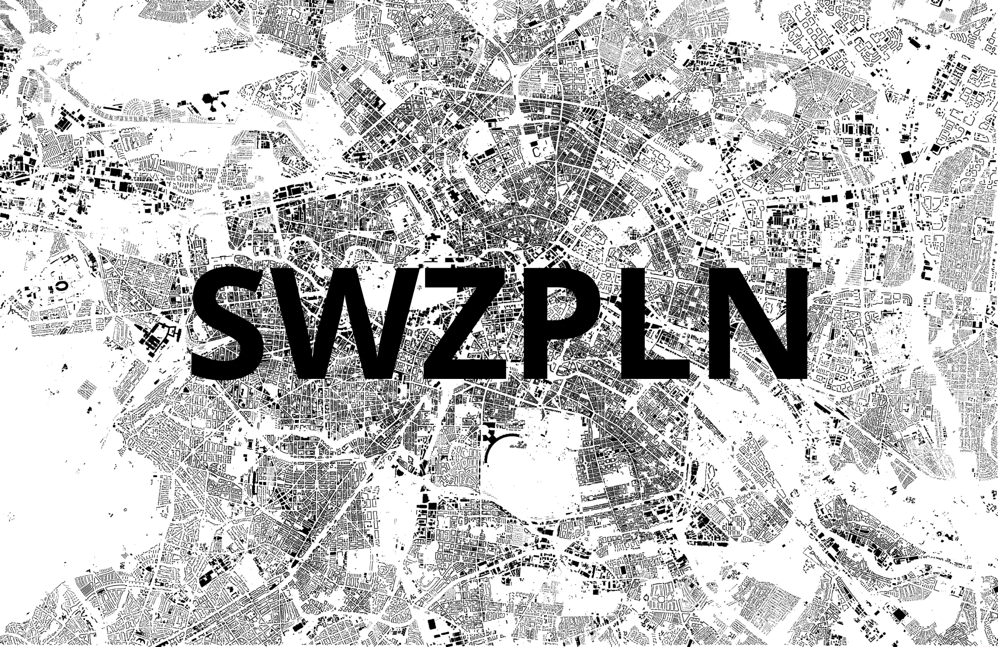
Nolli plans (figure-ground maps) are essential tools in architecture and urban planning, required for most competitions and perfect for quickly understanding urban morphology. Despite their importance, obtaining these plans is often challenging - they're either expensive, restricted to official authorities, or simply don't exist for many locations.
SWZPLN.de solves this problem by creating free Nolli plans, urban maps and 3D city models using openly available datasets from around the world. The platform enables architects and urban planners to generate plans for any location with just a few clicks.
SWZPLN 3D was a finalist at BIM Champions 2026 in Berlin, placing second for the project "Democratization of IFC Building Data through Open Standards."
Key features:
- Free and open access to plan data worldwide
- 2D export formats: AutoCAD (DXF), PDF, SVG
- 3D export formats: IFC 4.3, DXF 3D, OBJ (compatible with Revit, Archicad and all major BIM tools)
- Automatic hatching and correct street line weights in DXF export
- Customizable layers (buildings, green spaces, water bodies, roads, railways, height contours)
- Privacy-focused: all data processing happens locally on your device
- Open-source code for transparency and community development
The project emphasizes digital justice by making plan data freely available globally. By processing data locally on users' devices, we ensure privacy and minimize server resources.